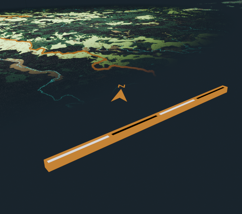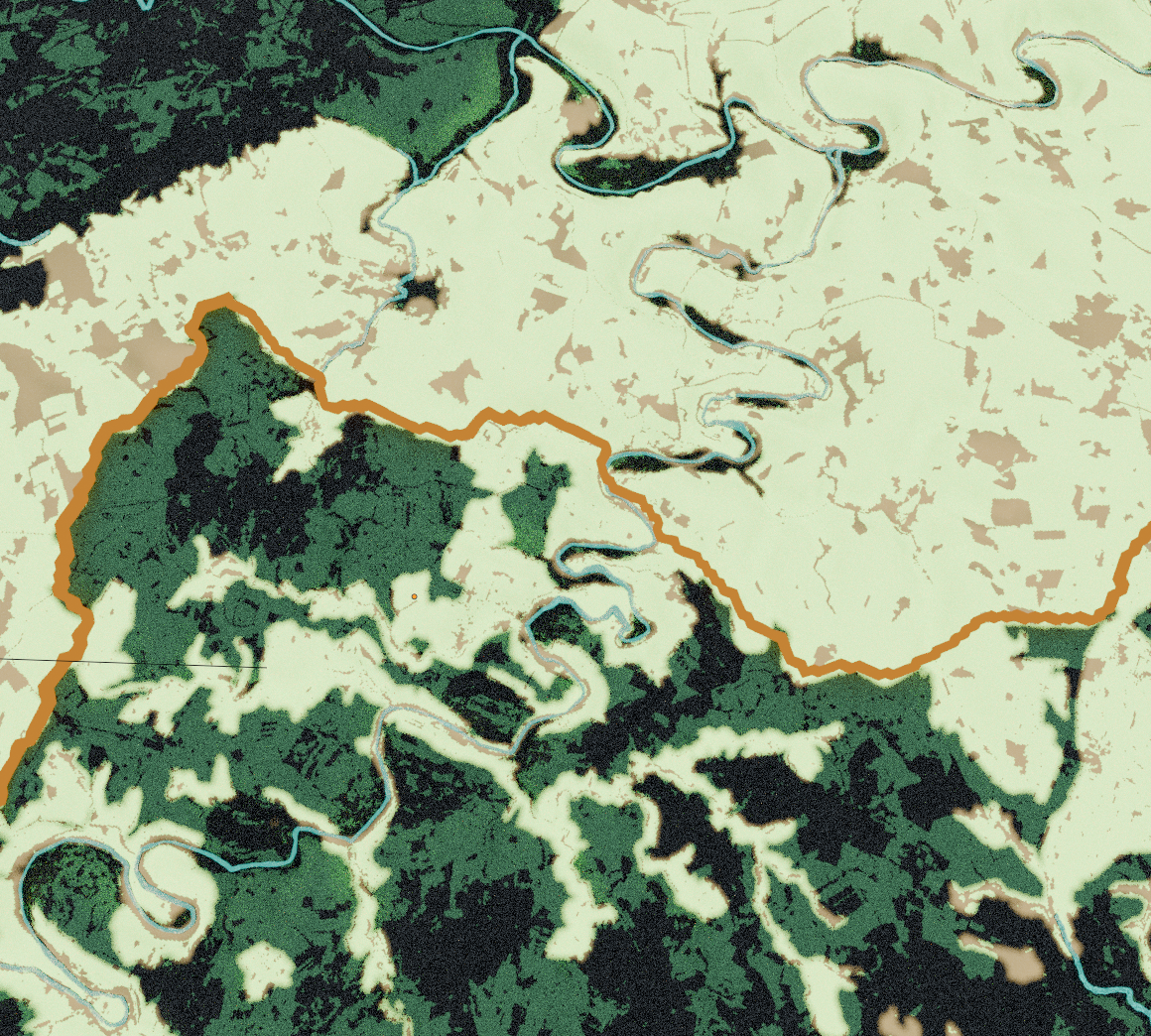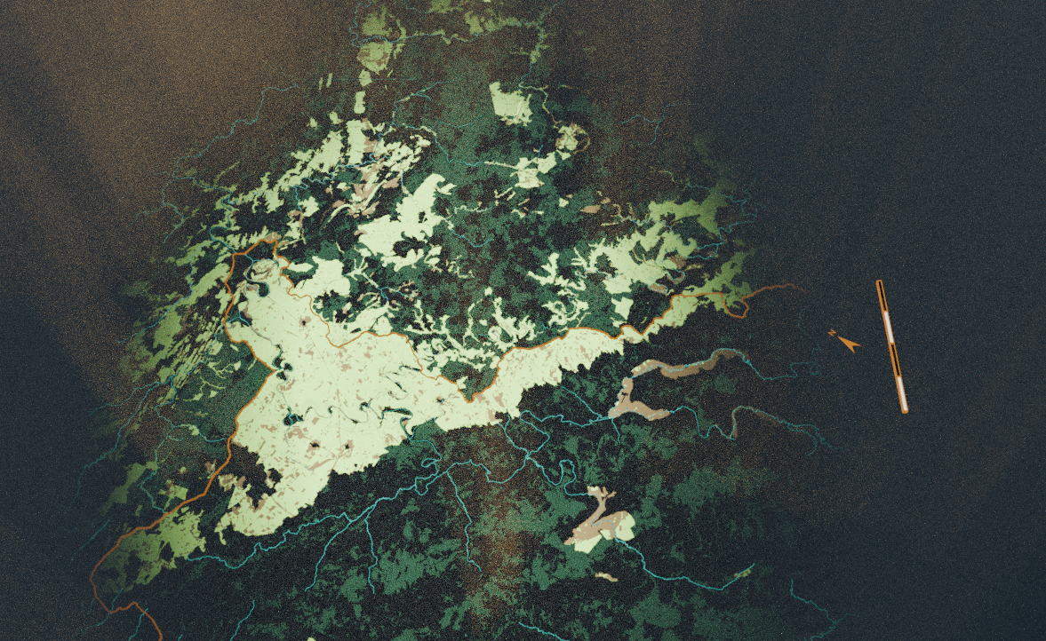
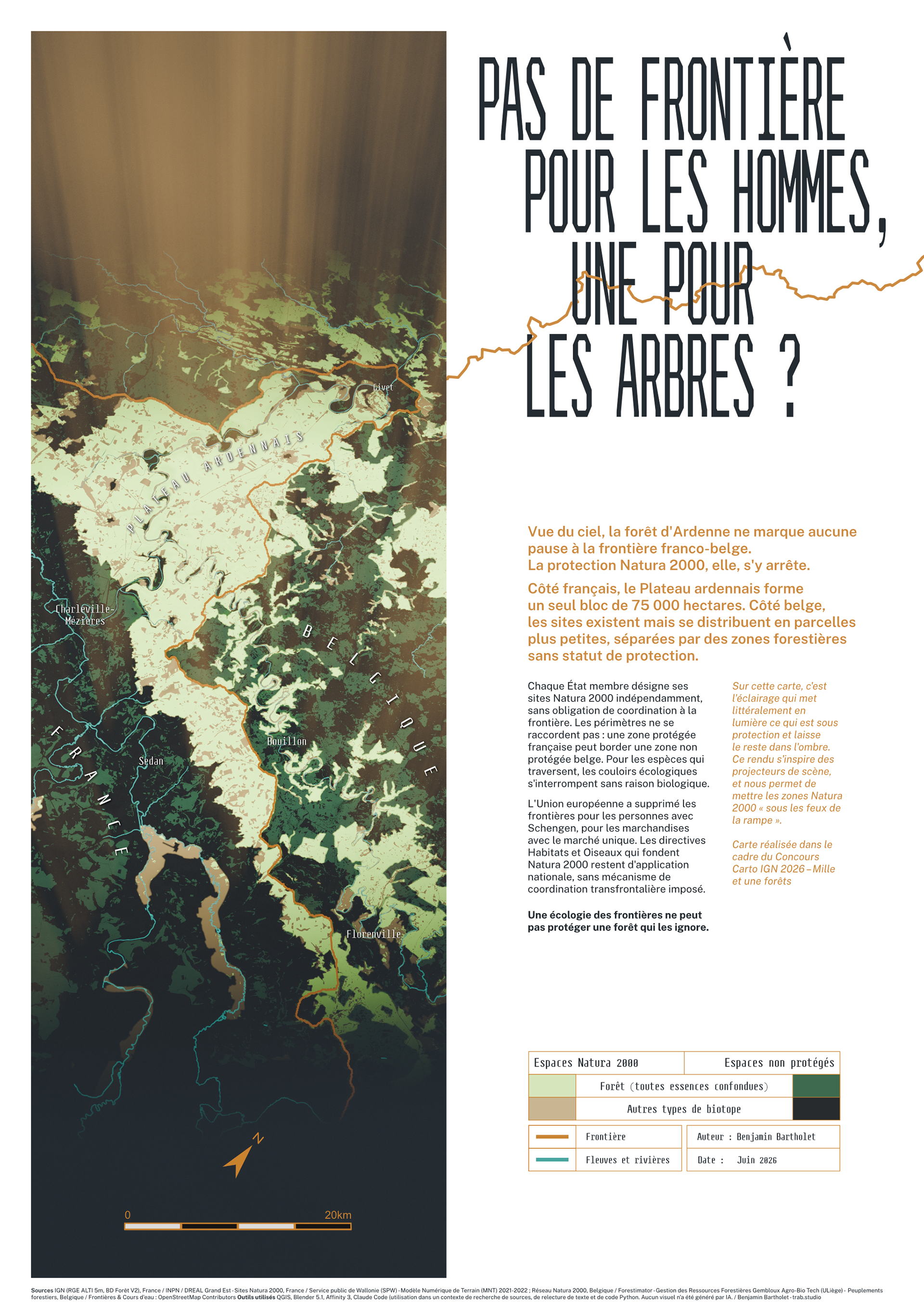
The Ardennes forest crosses the French-Belgian border without a pause. Natura 2000 protection stops there: one protected block of 75,000 hectares on the French side, smaller disconnected parcels on the Belgian side, because each member state designates its own sites and none of them has to coordinate at the frontier.
I mapped that gap for the IGN Cartography Competition 2026, on the theme "Mille et une forêts".
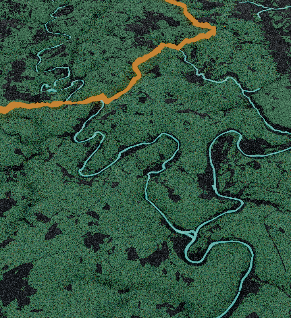
I grew up in the Ardennes, next to a huge forest that couldn't care less about the border. To show what is protected and what is not, I used light in the 3D scene: whatever sits under the spotlights is protected, whatever stays in the dark is not. The Natura 2000 perimeters became the light source, so the protection edges read as edges of light. Colour follows the same split: pale green and sand inside a protected site, dark green and near black outside it.
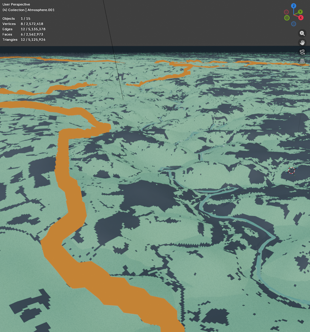
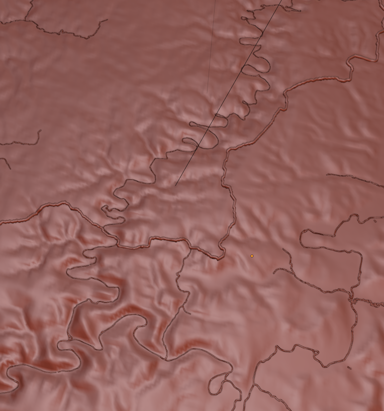
France and Belgium publish elevation on two models sharing no grid, projection or resolution, so I merged RGE ALTI 5m from IGN with the 1m MNT from the Service public de Wallonie. I did the same for forest cover, BD Forêt V2 on one side and Forestimator stand data from Gembloux Agro-Bio Tech on the other. Rivers come from OpenStreetMap. Cycles handled the render, Affinity the A1 layout.
Year: 2026
Competition: IGN Cartography Competition 2026, "Mille et une forêts"
Data source: IGN (RGE ALTI 5m, BD Forêt V2), INPN / DREAL Grand Est, Service public de Wallonie, Forestimator (Gembloux Agro-Bio Tech, ULiège), OpenStreetMap
Stack: QGIS, Blender 5.1, Affinity 3
Code: https://github.com/telohtrab/one-border-for-trees
Typefaces: Steps Mono (Jean-Baptiste Morizot & Raphaël Bastide, Velvetyne), Public Sans (USWDS), both SIL OFL 1.1
Competition: IGN Cartography Competition 2026, "Mille et une forêts"
Data source: IGN (RGE ALTI 5m, BD Forêt V2), INPN / DREAL Grand Est, Service public de Wallonie, Forestimator (Gembloux Agro-Bio Tech, ULiège), OpenStreetMap
Stack: QGIS, Blender 5.1, Affinity 3
Code: https://github.com/telohtrab/one-border-for-trees
Typefaces: Steps Mono (Jean-Baptiste Morizot & Raphaël Bastide, Velvetyne), Public Sans (USWDS), both SIL OFL 1.1